Did you see this strange cloud formation in Ontario?

If you looked up at the sky in southern Ontario on Wednesday, you may have spotted a peculiar cloud formation.
Photos poured in from the London area.
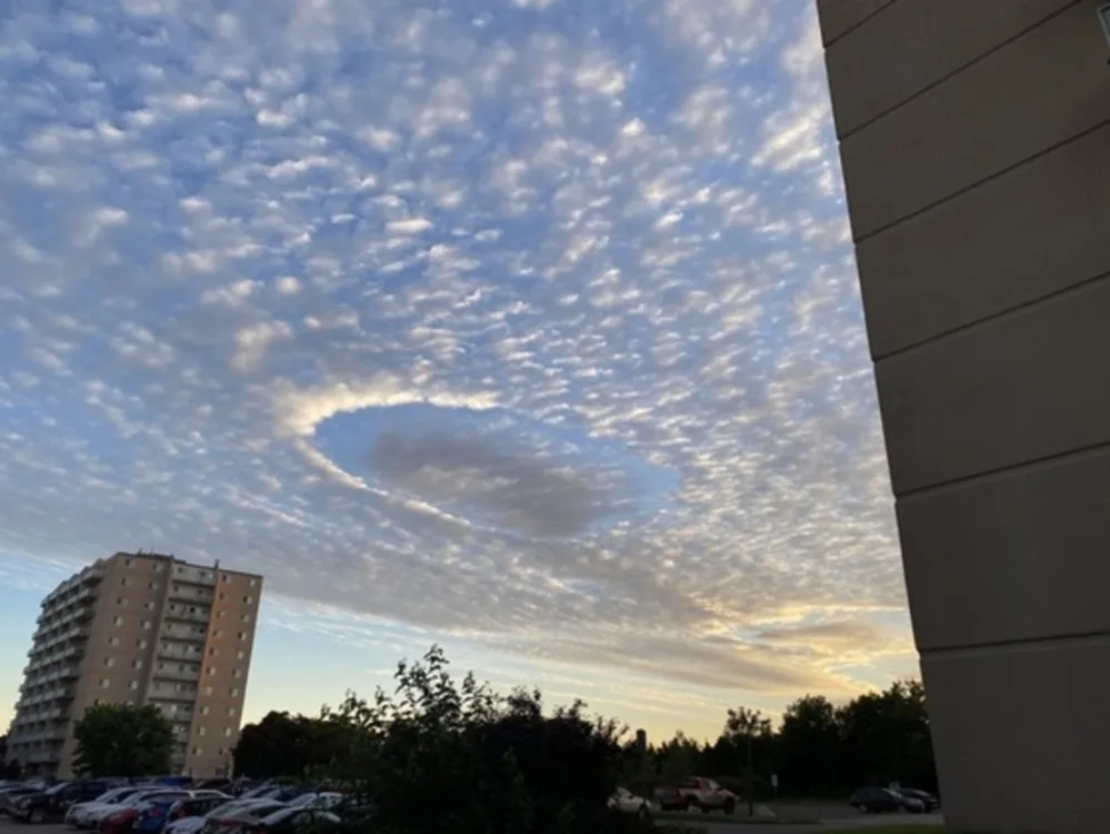
Submitted to The Weather Network by Kristyn.
Embedded content: https://twitter.com/garnmcgaughn/status/1557325022108291072So what are we looking at here?
It's a fallstreak hole, also known as a sky punch or hole punch cloud, a relatively rare phenomenon that's at least partially man-made, explains Weather Network meteorologist Michael Carter.
"They generally occur when an aircraft passes through a thin layer of cloud made of supercooled water droplets," he says.
"The disturbance from an aircraft passing through the layer causes some of the water to freeze into ice crystals - visible as wispy 'cotton candy-like' clouds in the center of the hole. At the same time, some of the surrounding water droplets evaporate, leaving the signature circular hole in the surrounding cloud layer."
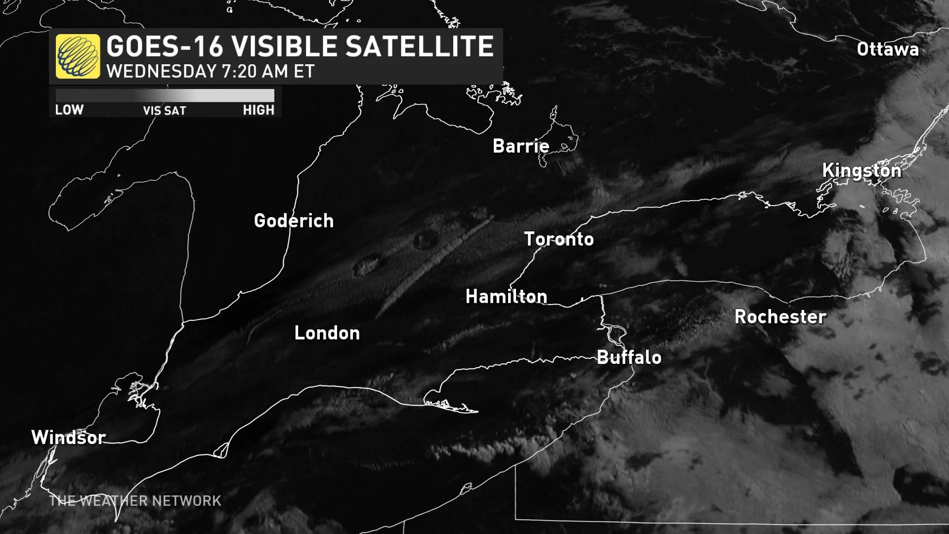
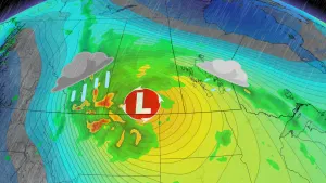
The fallstreak holes were visible on satellite Wednesday morning.
In the past, the unique formations have been mistaken for UFOs.
Fallstreak holes are rare because the temperature, moisture content, and cloud thickness have to be exactly right for a formation to occur. And because they require a passing aircraft to form, they're more common near areas that see a lot of air traffic.
With contributions from April Walker and Cheryl Santa Maria.