Millions of Americans live in the path of 2024’s solar eclipse. See where to watch
Enter your address to find out what you can expect to see in a city near you.
One of the year’s most anticipated celestial events — a total solar eclipse — will put on a dramatic show April 8 as it crosses over Mexico, the United States and Canada.
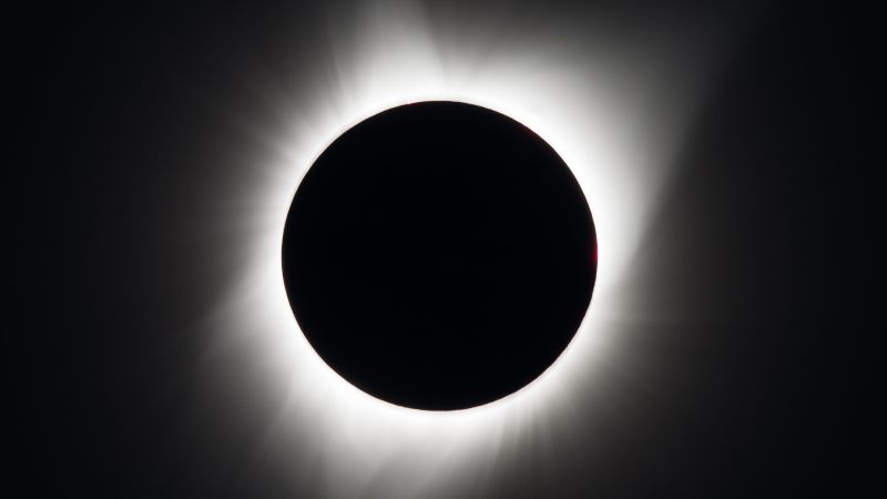
A total solar eclipse occurs when the moon passes between Earth and the sun, completely blocking the sun’s face and causing the golden orb to temporarily disappear from view. The phenomenon has inspired myths and folklore for millennia.
The event will be visible to millions — including 32 million people in the US alone — who live along the route the moon's shadow will travel during the eclipse, known as the path of totality. For sky-gazers in the areas experiencing totality, the moon’s shadow will completely cover the sun. Those along the very center line of the path will see an eclipse that lasts between 3 ½ and 4 minutes, according to NASA.
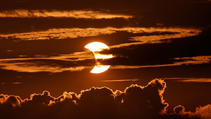
The total duration for all phases of the eclipse, however, lasts for hours. Since the moon doesn’t just suddenly appear between Earth and the sun, the event begins with a partial eclipse. The moon's shadow will slowly move across the sun's face during the approach to totality, causing the sun to appear like a sharpening crescent. Depending on your location, the partial eclipse can last between 70 to 80 minutes, according to NASA.
The eclipse will first appear over the South Pacific Ocean and begin its journey across North America. Mexico’s Pacific coast is the first point of totality on the path, expected at 11:07 a.m. PT (2:07 p.m. ET) and the eclipse is expected to end on the Atlantic coast of Newfoundland at 5:16 p.m. local time (3:46 p.m. ET).
What will the eclipse look like in select cities?
NASA calculated the start and end times for the eclipse in thousands of cities across the US. Enter an address or explore the map for what you can expect to see in the city closest to your location.
During totality, the sky will darken as if it’s dusk or dawn. Depending on humidity and cloud cover, expect to feel a roughly 10-degree Fahrenheit (5-degree Celsius) drop in temperature when the sun disappears from view, according to NASA.
Look out for Baily’s beads just before and after the sun disappears. This scintillating phenomenon occurs when the sun’s rays shine around valleys on the lunar horizon, creating glowing drops of light around the moon.
The location that will experience the longest duration of totality is near Torreón, Mexico, where the peak of the eclipse will last 4 minutes and 28 seconds. But you don’t have to be squarely in the path of this solar spectacle to witness some of its wonders.
Millions more outside of the path of totality, across an area that includes 49 US states, will see a partial solar eclipse, in which the moon blocks a portion of the sun and appears to take a crescent-shaped “bite” out of it.
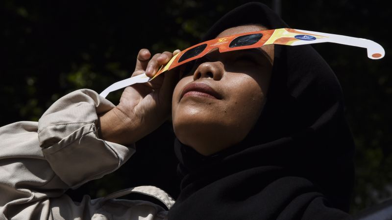
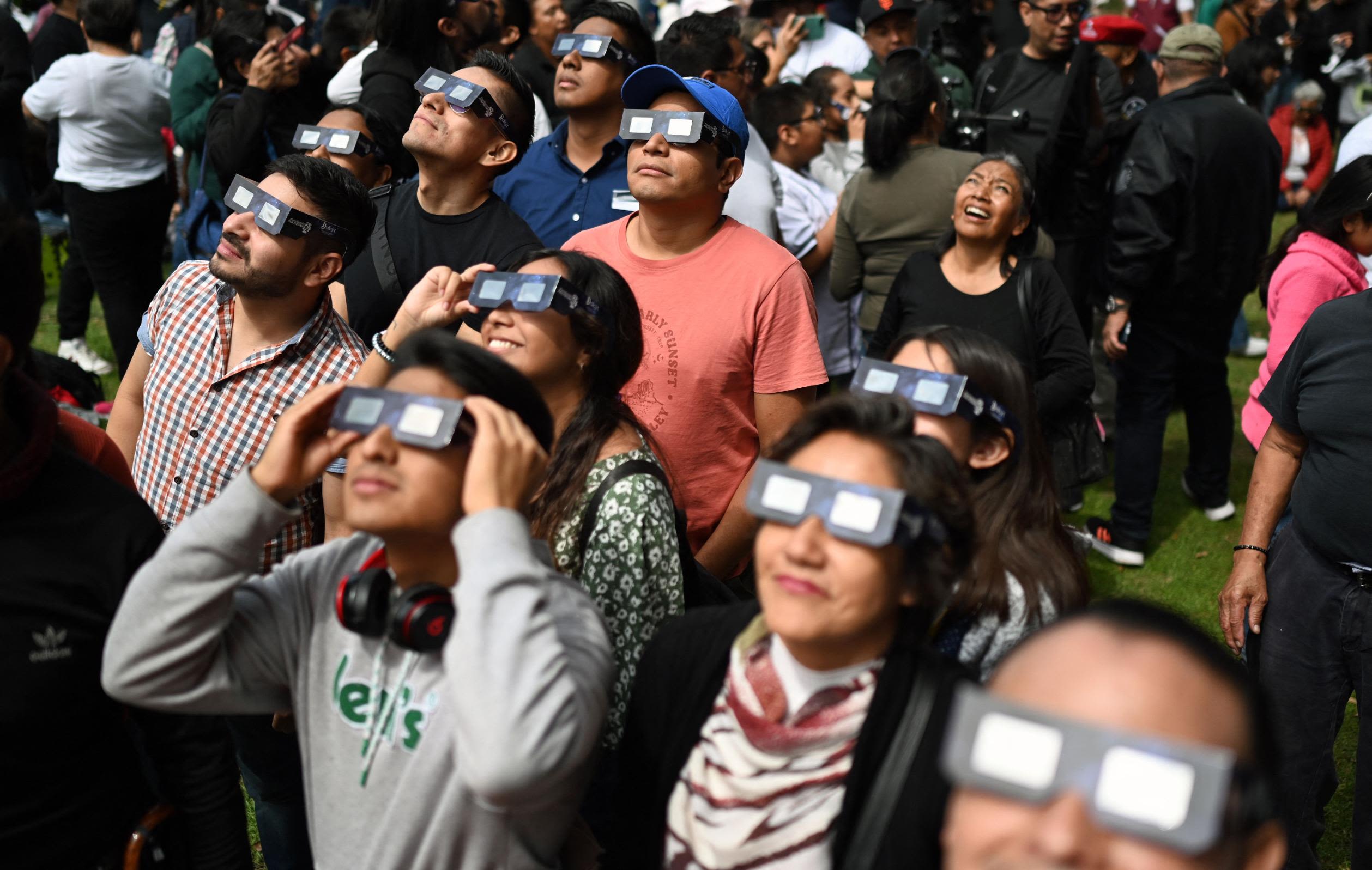
And be sure to find a pair of certified ISO 12312-2 compliant eclipse glasses ahead of the big day to safely view every stage of the eclipse and enjoy the celestial show while you can. Another total solar eclipse won’t be visible across the contiguous US again until August 2044.
Don’t miss out on upcoming eclipse and space stories! Follow the Astronomy topic to see the latest stories in your personalized feed with your free account.
Methodology
To create the map, CNN used geographic files released by the National Aeronautics and Space Administration (NASA) which depict the estimated path and impact of the solar eclipse across North America. Those files included the penumbra path, a wider series of contours reflecting the maximum partial obscuration of the sun by the moon at various places across the country. These are visualized at 5% intervals, with darker shades representing more obscuration. Also included in the map is the path of totality, or umbra path, a narrower strip from Texas to Maine that is expected to experience complete or nearly complete obscuration for a few minutes.
To show the expected movement and impact of the eclipse, CNN relied on NASA data listing a series of times for the progression of the obscuration in more than 4,000 select cities across the country. The maximum time is an estimate calculated by NASA.
These moments were converted from Coordinated Universal Time to local time through a spatial analysis of world time zone geographic boundaries released by Esri. This analysis also considered Daylight Saving Time, where applicable, which will be in effect on April 8. Arizona doesn’t observe Daylight Saving Time and times were adjusted for two cities in Indiana, Evansville and Valparaiso, which are in the Central time zone, unlike much of the rest of the state. Cities in Hawaii and Alaska were excluded from the map: Alaska will not experience the eclipse, and some parts of Hawaii will see 20% or less obscuration.